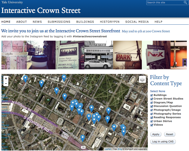
Front page of interactivecrownstreet.yale.edu
ARCH 4219 01 (S14) URBAN RESEARCH & REPRESENTATION
A professor in Yale’s School of Architecture was searching for a way to depict various elements of a historic city street in order to capture and visualize student research and projects, community knowledge, and historic data.
- He wanted a course hub that would also depict a wealth of information visually, spatially, and interactively.
- The site would also function as a home for the Interactive Crown Street project
ITG Academic Technologist Alina Nevins built the web site’s structure using Drupal.
- Drupal isn’t a blogging platform like WordPress.
- It’s a true content management system: a tool for organizing and visualizing many different types of information, not just blog posts.
Nevins ‘souped-up’ Drupal by building custom content types and by incorporating geospatial visualization tools.
- Students can submit short prose assignments (reading responses or discussion questions, ala Blogging 2.0).
- They can also upload photos, videos, maps, and many more types of content.
- Students can associate a location with each item (geospatial data).
- Students can also submit items with a mobile device at the actual location, and upload images or other media.
- Students can view all of the items on a map
There a a couple of different ways that students can search for or view content:
- On the map- view only specific kinds of content at a time filtered by type.
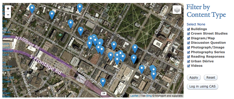
Options to filter the map by content type
- By type
- By tag
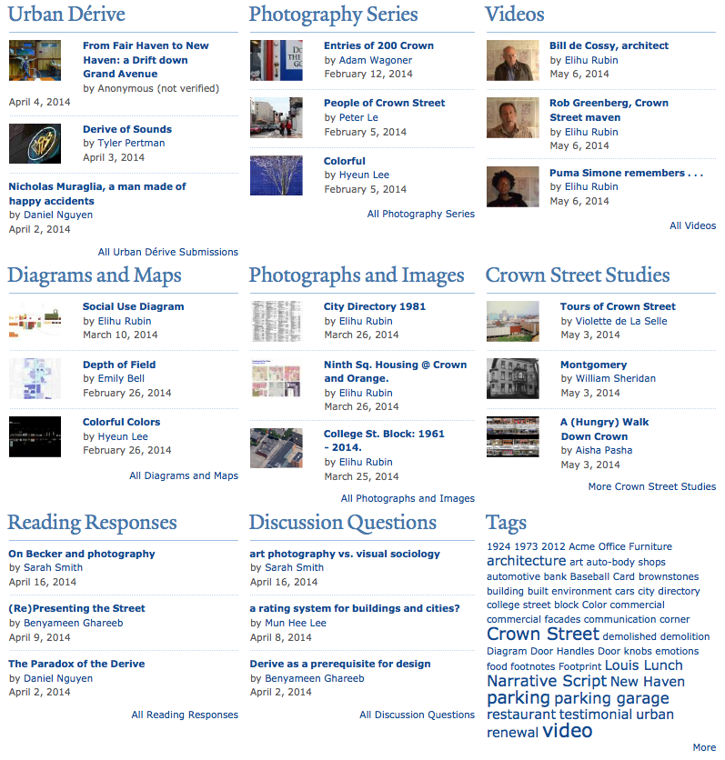
View the most recent submissions, or click All to view all of the items of that content type
This site is a great example of how technology can uncover connections between different kinds of data and facilitate new insights.
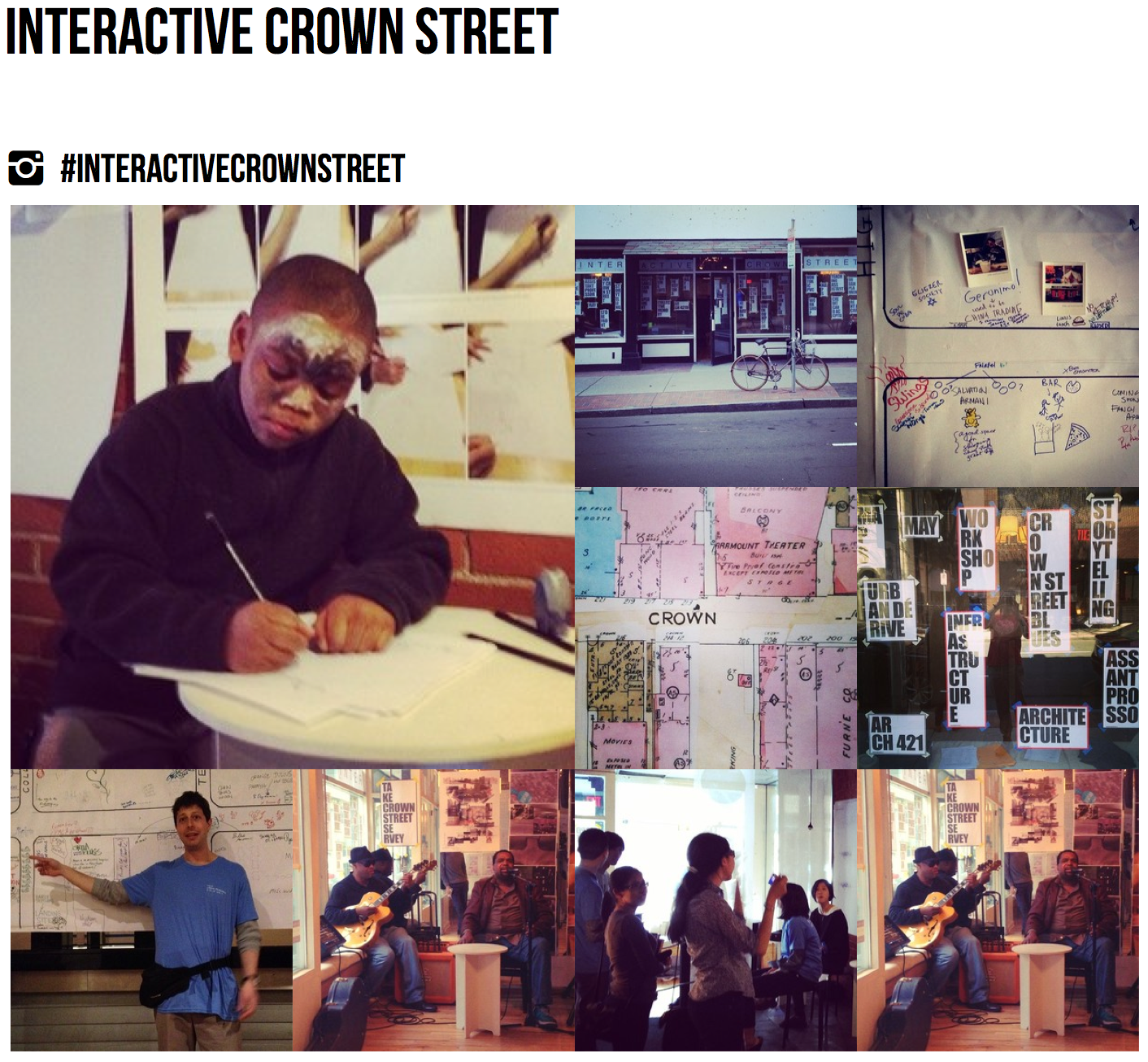
The site was demonstrated at the end-of-year physical project installation– a ‘pop-up urban research field office’- over a weekend in May.
- At the installation participants (community members, students, etc.) were invited to contribute to the site by tagging Twitter posts and Instagram images with #interactivecrownstreet.
- Live social media feeds (Twitter and Instagram) are integrated into the site, both on the homepage and in SocialScreen.
SocialScreen Instagram feed

SocialScreen Twitter feed
- A mobile app (HistoryPin) lets students post and view historic images and overlay them on Google Street View or in person (augmented reality).
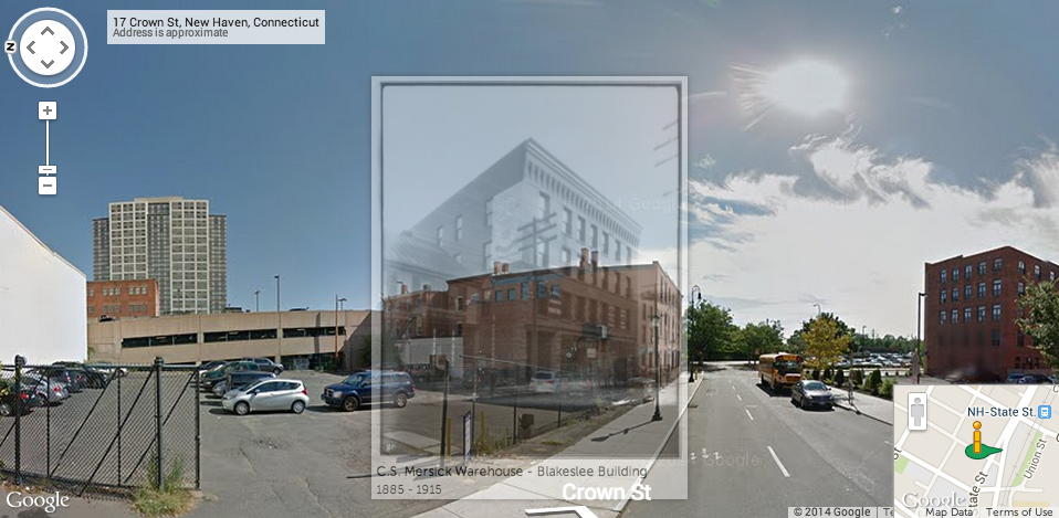
HistoryPin: Viewing a historic image overlaid on a Google Street view image
The project reinforces Yale’s mission to preserve and disseminate knowledge, and facilitates the construction of new insights using an emerging technological interface.